ASA 105 CERTIFICATION
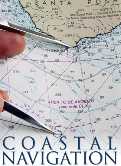
COASTAL NAVIGATION - ASA 105
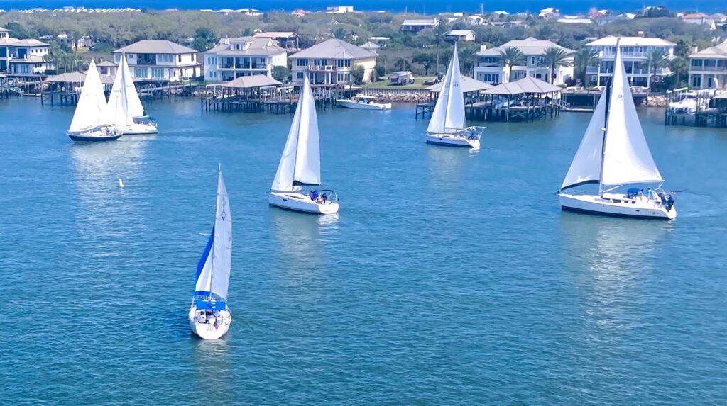
Welcome to St Augustine Sailing’s ASA 105 Coastal Navigation course! Whether you are dreaming of coastal cruising or planning an extended cruise, mastering coastal navigation is essential for every sailor. Our ASA 105 Coastal Navigation course offers three flexible learning options to suit your lifestyle and schedule.
- Join us in the classroom for hands-on, interactive learning with experienced instructors.
- Opt for our comprehensive online course to study from the comfort of your home, on your own time under the direction of a skilled instructor.
- Choose the self-paced option to learn at your own speed, on your own time.
With St Augustine Sailing, you will gain the skills and confidence needed to navigate the waters safely and effectively.
SUMMARY
Able to apply the navigational theory and practices for safe navigation of a sailing vessel in coastal and inland waters.
Please note: On-water coastal navigation skills elements are contained in the ASA 103 Coastal Cruising, ASA 104 Bareboat Cruising, and ASA 106 Advanced Coastal Cruising, in progressively increasing levels of detail.
In Classroom:
Our in-classroom ASA 105 Coastal Navigation Course is completed entirely onsite at St Augustine Sailing – 3074 Harbor Drive, Saint Augustine, Fl in the classroom over 4 Saturdays (every other week).
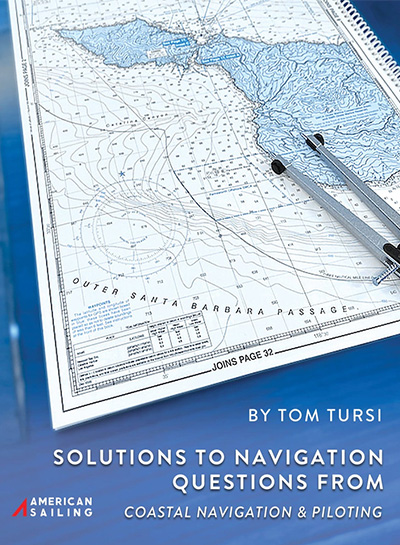
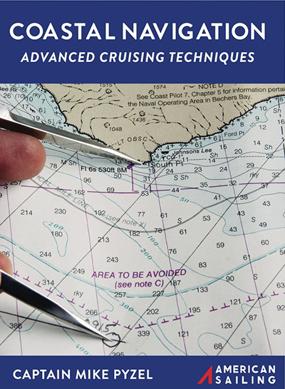
The in-classroom instruction utilizes Pyzel Coastal Navigation Manual and it is included in the cost of the course.
We do recommend purchasing, at a minimum, the basic chart plotting tools. These tools are essential for hands-on navigation practice and will contribute to a more comprehensive understanding of the material.
Our sailing course is confirmed with only 2 students and we have a maximum of 4 students per class.
On-line
Our ASA 105 Coastal Navigation online course is thoughtfully designed to eliminate the need for additional textbooks or workbooks, streamlining your learning experience. However, to enhance your practical skills, we do recommend the purchase of basic chart plotting tools. These tools are essential for hands-on navigation practice and will contribute to a more comprehensive understanding of the material. Rest assured, a training chart will be promptly mailed to you upon registration, ensuring you have the necessary resources to actively engage with the course content. We look forward to guiding you through a seamless and enriching learning journey in coastal navigation.
Additionally, this course includes two optional 30-minute live help sessions with the assigned instructor, if needed.
Self Paced:
The self-paced study option provides you with the flexibility to progress through the material as your schedule allows, ensuring you can fit your learning around other commitments.
Select from the Study Materials of Pyzel or Tursi, listed below, to utilize as your primary study guide. Feel free to purchase through us or directly through ASA. Once you have completed the course, you can reach back out to us to schedule a date and time to sit for your test.
SAILING KNOWLEDGE & SKILLS COVERED - ASA 105 COASTAL NAVIGATION
-
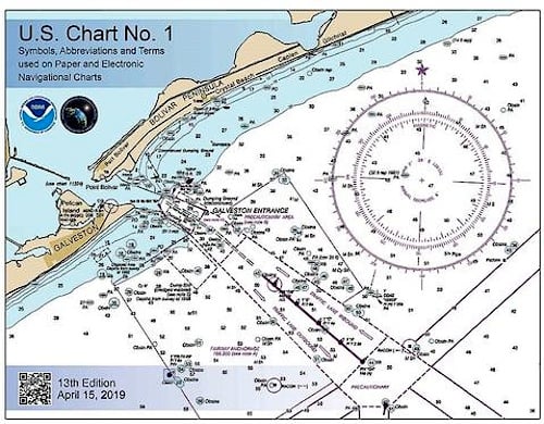
- Explain the chart symbols and conventions of U.S. nautical charts in accordance with the terminology of Chart #1.
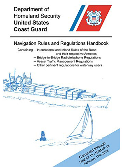
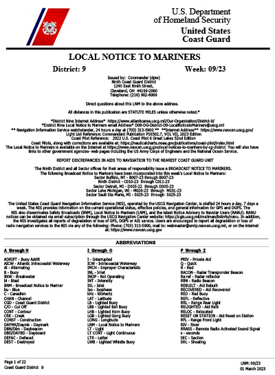
- Identify a source of official U.S. Coast Guard navigation publications.
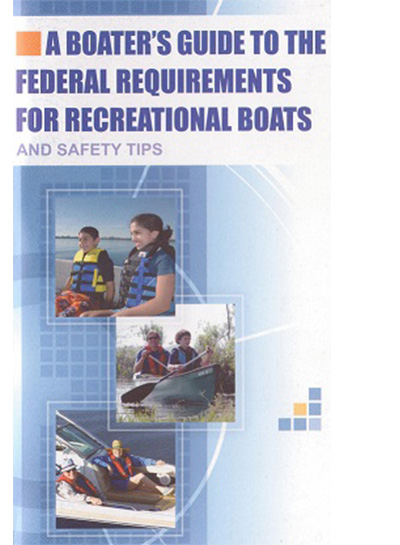
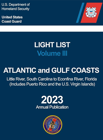
- List the publications required for prudent navigation in the local area including: Large scale charts of the area and Chart #1, Federal Requirements for Recreational Boats, U.S.C.G. Navigation Rules and Regulations Handbook, State small vessel regulations, Local rules and regulations, if applicable,, Local cruising guides, Tide and current tables, (paper or electronic), List of lights, buoys, and fog signals.
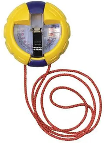
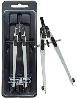
- Describe the instruments required for prudent navigation in the local area including the following minimum requirements: Steering compass and deviation table, Hand bearing compass and or pelorus, Binoculars, Protractor or parallel rule, Depth sounder or lead line, pencil, eraser, notebook, Dividers, Watch or Clock, Log, and Knot meter.
- Describe the purpose and example contents of a “Notice to Mariners”.
- Explain the terms and characteristics used for lighted navigation aids.
- Explain the significance of shapes, colors, and lights used in the U.s. Aids to navigation (ATON) system.
Skills
- Use the tide and current tables to find: times and heights of tides at references and secondary ports, direction and rate of current at referenced and secondary stations.
- Convert courses and bearings between true, magnetic, and compass.
- Check compass deviation by a transit bearing or other means.
- Plot a dead reckoning position on a chart using speed, time and course to steer.
- Allow for the effect of current and leeway to plot the estimated position.
- Determine a course to steer which takes into account known current and leeway.
- Determine current given the course steered and speed and two observed positions.
- Plot a chart position from terrestrial objects using: two or more bearings on different objects taken at one time, bearings at different times (i.e. a running fix), one bearing and transit range, one distance (i.e. a sounding or dipping a light) and one bearing,
- Chart a course of at least 20 miles and three course changes using the above skills.
RECOMMENDATION
We recommend joining our Crew Program since it as a valuable way to enhance your sailing abilities, accumulate the necessary sailing hours, as well as a way to keep your sailing skill current – LEARN MORE
Once you have passed your ASA 105 Coastal Navigation you may find the following Endorsement Courses to be beneficial.
- ASA 118 Docking Endorsement (as a side note, if you join the Crew Program you will qualify under the direction of the instructor, this endorsement will provide you the opportunity to be dock the vessel.)
- ASA 119 Marine Weather Endorsement
WHAT'S NEXT
After you have successfully completed ASA 105 Coastal Cruising, which ASA Certifications should you take next?
- ASA 106 Advanced Coastal Cruising
ASA 105 STUDY MATERIALS
U.S. CHART NO. 1
NAVIGATION TOOLS
Divider
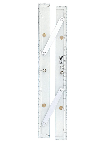
Parallel Ruler
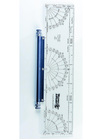
Parallel Plotter
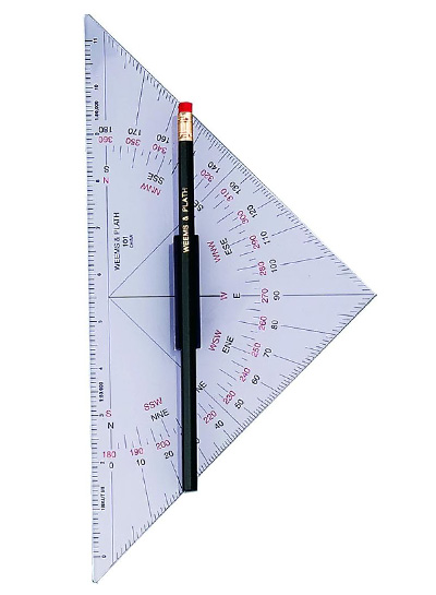
Protractor Triangle
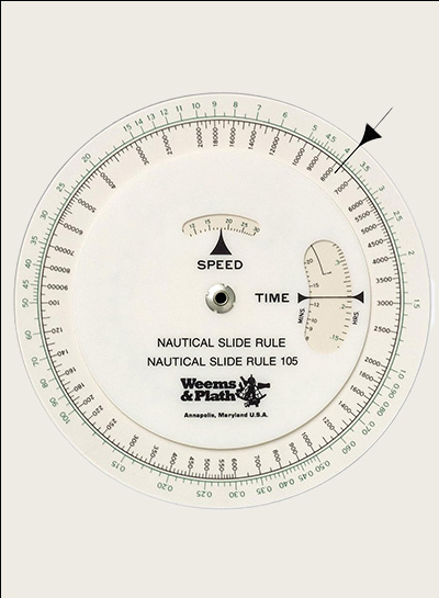
Nautical Slide Rule
Hand Bearing Compass